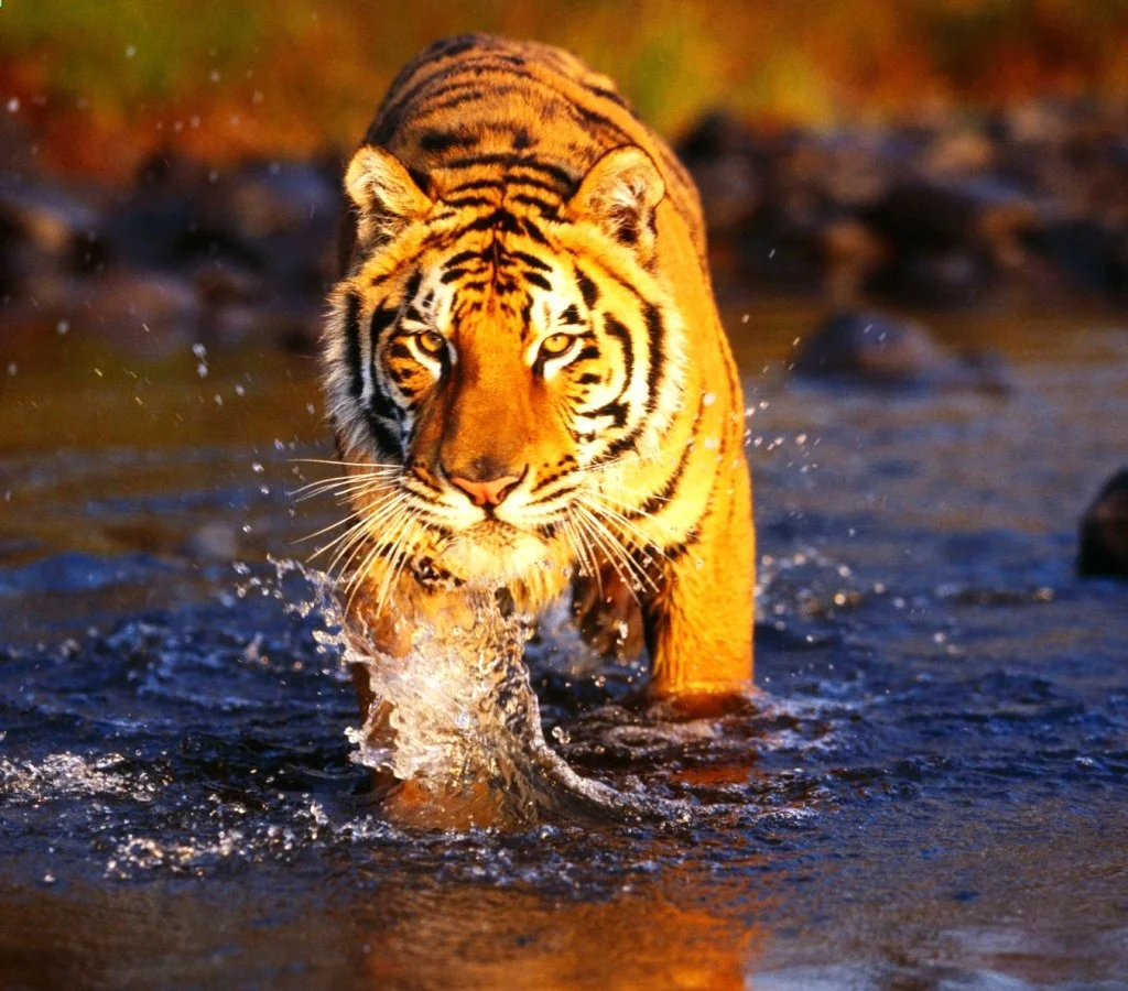
The state of Karnataka located in South India has a rich diversity of flora and fauna. It has a recorded forest area of 38720 km² which constitutes 20.19% of the total geographical area of the state. These forests support 25% of the elephant population and 15% of the tiger population of India. Many regions of Karnataka are as yet unexplored and new species of flora and fauna are found periodically. The mountains of Western Ghats which are in the western region of Karnataka are a biodiversity hotspot. Two sub-clusters of these Western Ghats viz. Talacauvery and Kudremukh which are located in Karnataka are in the tentative list of sites that could be designated as World Heritage Site by UNESCO. The Bandipur and Nagarahole national parks which fall outside these subclusters were included in the Nilgiri biosphere reserve in 1986, a UNESCO designation. The state bird and state animal of Karnataka are Indian Roller and the Indian Elephant respectively. The state tree and state flower are Sandalwood (Santalum album) and lotus respectively.
Anshi National Park
This park is present in the Uttara Kannada district and spreads over an area of 250 km². The altitude varies from 27 metres to 927 metres, and temperatures from 15 °C to 35 °C. Average annual rainfall is about 4,700 millimetres.
Bandipur National Park
It is situated within Chamarajanagar district covering an area of over 800 km² and adjoins the states of Tamil Nadu and Kerala. In 1973, Bandipur became one of the first of India’s Tiger Reserves and became a part of Project Tiger. In 1974, intention was declared under the Wildlife Protection Act to notify it as a National Park.
Bannerughatta National Park
It is located in Bengalooru district and covers over 115 km² of area. Altitude varies from 740 metres to 1,034 metres, temperature from 20° to 35 °C and the average annual rainfall is 700 millimetres.
Kudremukh National Park
Spread over an area of 600.32 km² it encompasses regions in the districts of Dakshina Kannada, Udupi and Chikmagalur. Altitude varies from 134 metres to 1,892 metres. The park has a pleasant climate, with temperatures ranging from 17° to 28 °C. Annual rainfall varies from 1,778 millimeters to 6, 350 millimeters, with an average of 4,000 millimeters. The rivers Nethravati, Tunga and Bhadra are believed to originate here at Ganga Moola.
Nagarhole National Park
Also known as Rajiv Gandhi (Nagarahole) National Park gets its name from the Nagara Hole (Snake River in Kannada) which runs eastwards through its centre. Nagarahole river flows through the park before it joins the Kabini river that also acts as a boundary between Nagarahole and Bandipur. The park covers an area of about 575 km². The Wayanad Wildlife Sanctuary of Kerala adjoins to the Southeast.